


 5 / 14

MHPM_Boundary of the Cockpit Country and the Cockpit Country Protected Area Page
5
of
14
Please check against delivery
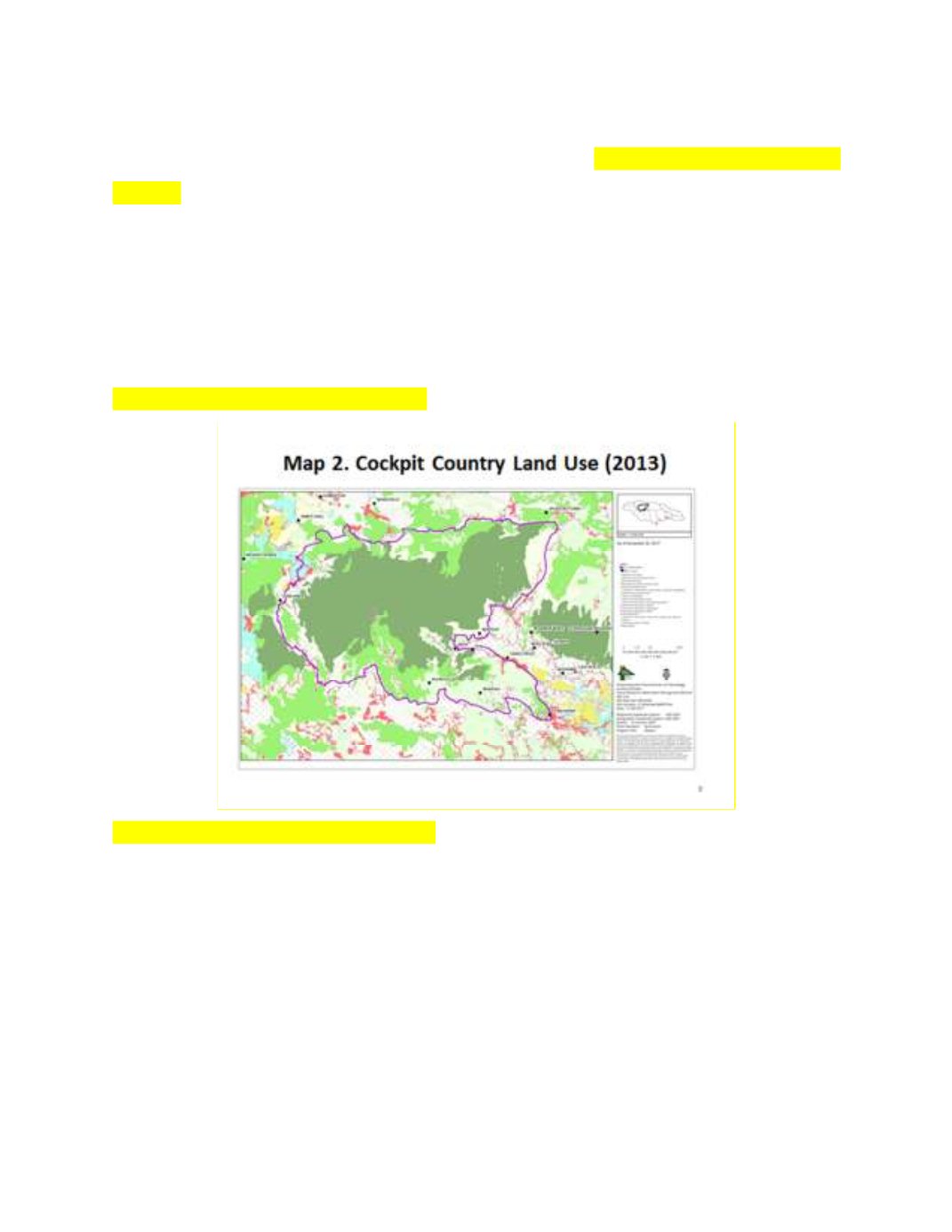
Mr. Speaker, while we accepted the sound basis on which this area is defined,
however, in looking at the current land use,
(see Slide Map 2 – Land Use -
BELOW)
we noted that the area in the vicinity of Manchester North-eastern,
between Craighead in the north and Christiana in the south is severely
degraded. It is sitting on degraded karst with mainly fields, degraded forest
(secondary forest/ruinate), has large settlements and commercial activity.
Therefore, Mr. Speaker; we are defining the section of the geomorphological
boundary that excludes the above-mentioned area as the “Core Cockpit”.
This is depicted on Map 3 (BELOW).
Slide Map 3 – Core Cockpit Country